
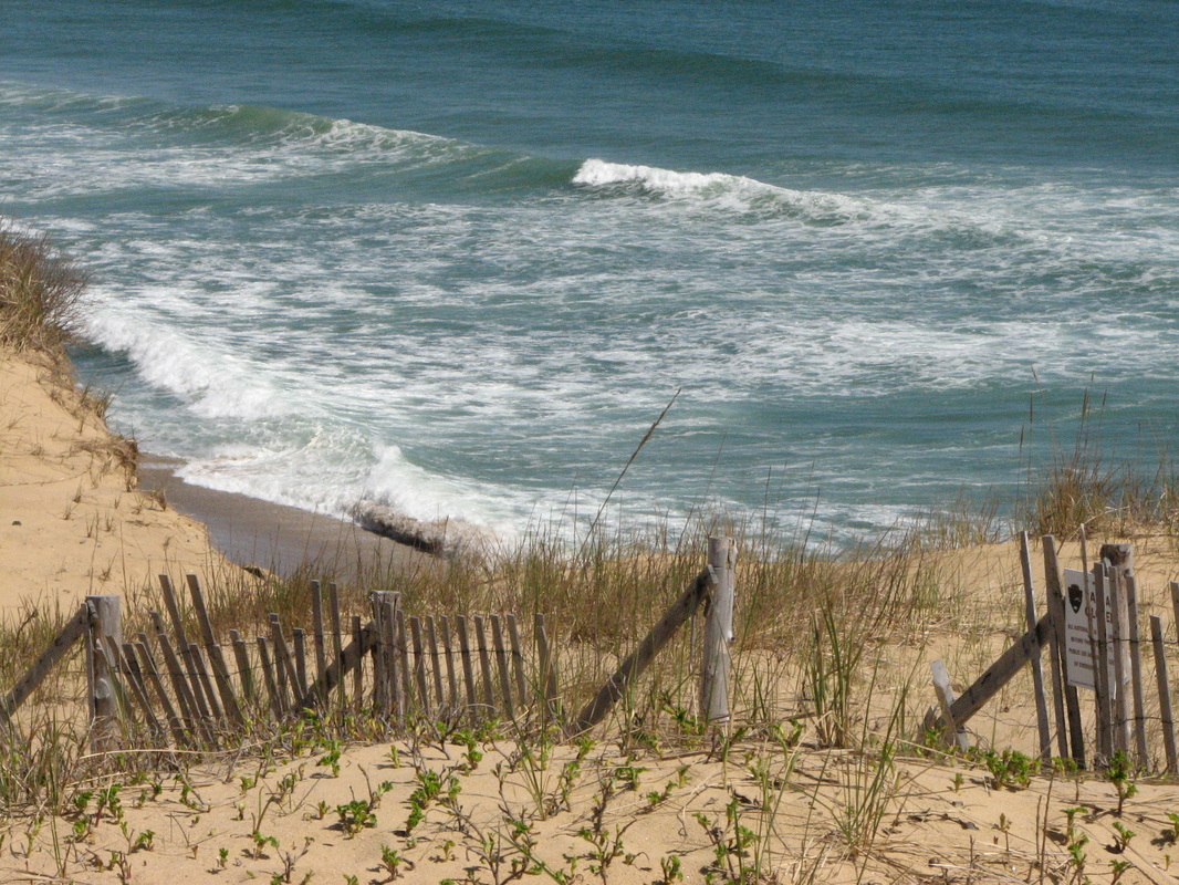

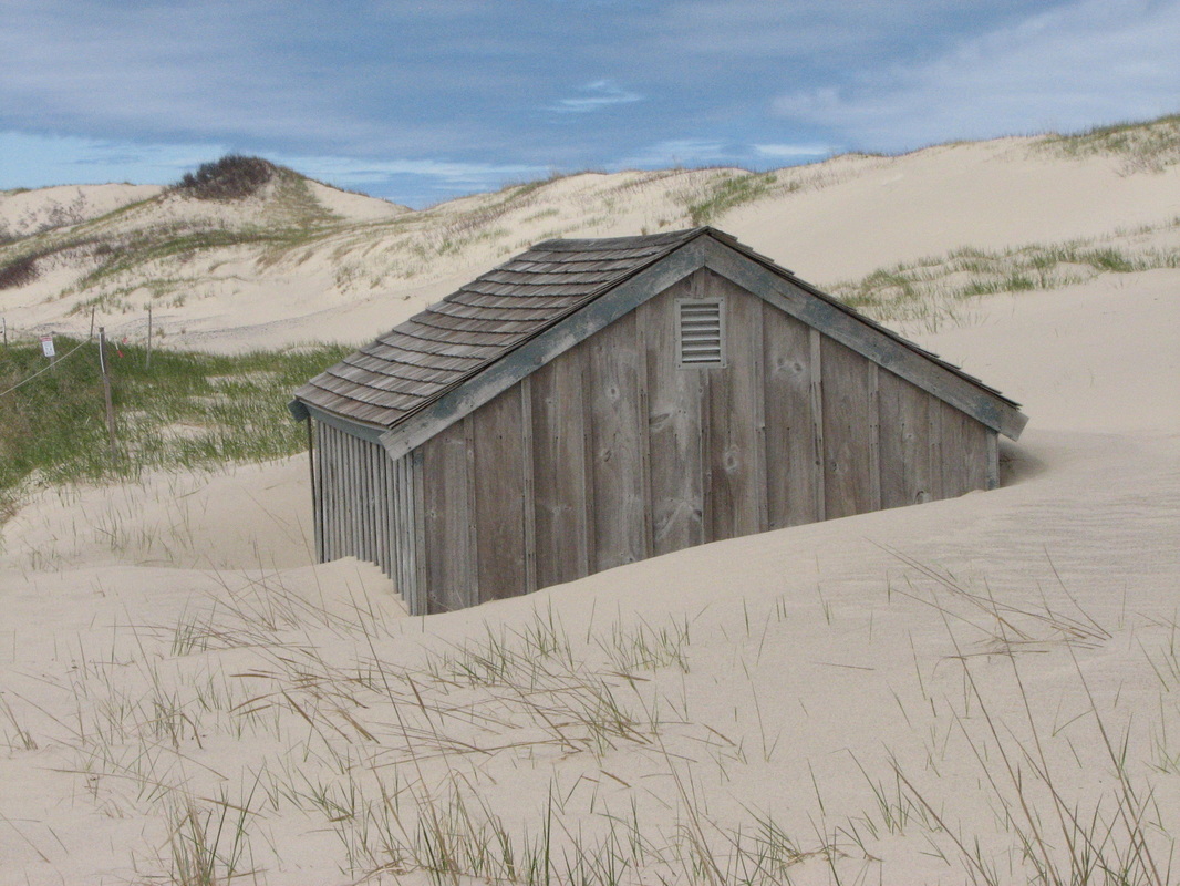
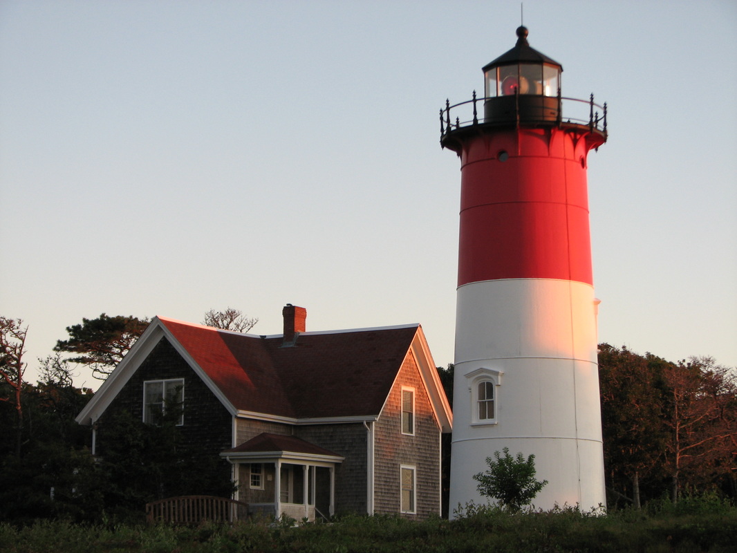
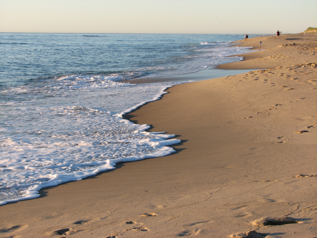
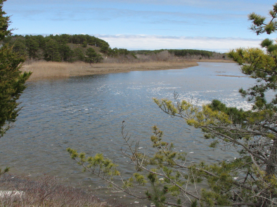
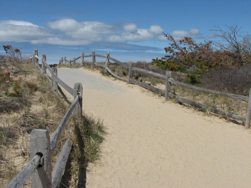
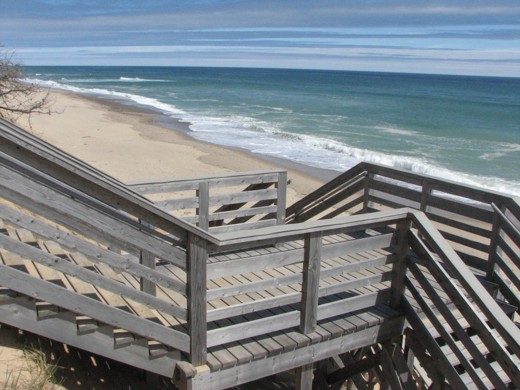

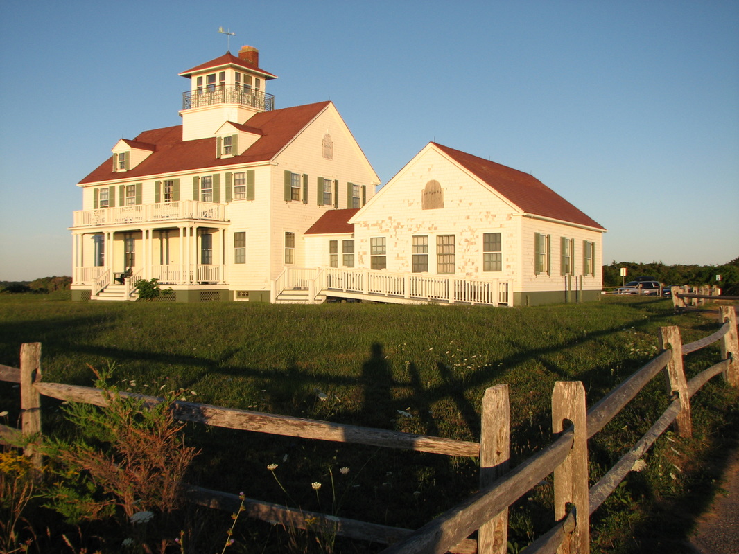
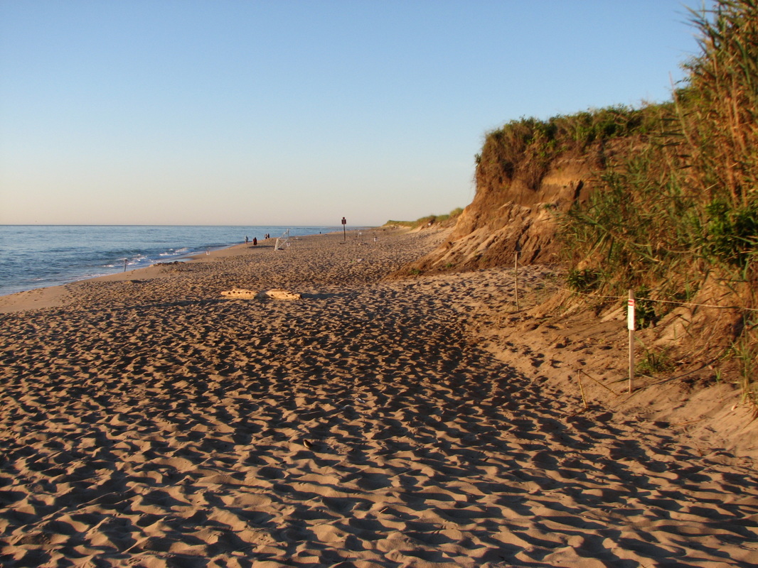
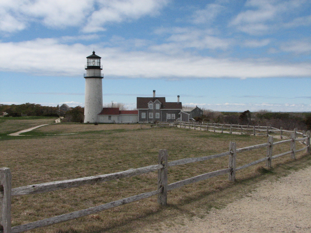
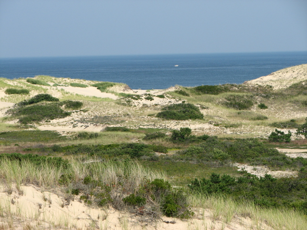
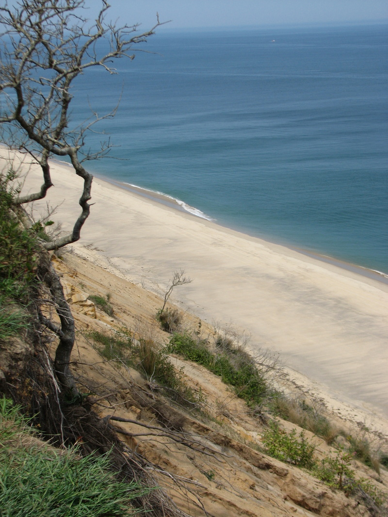
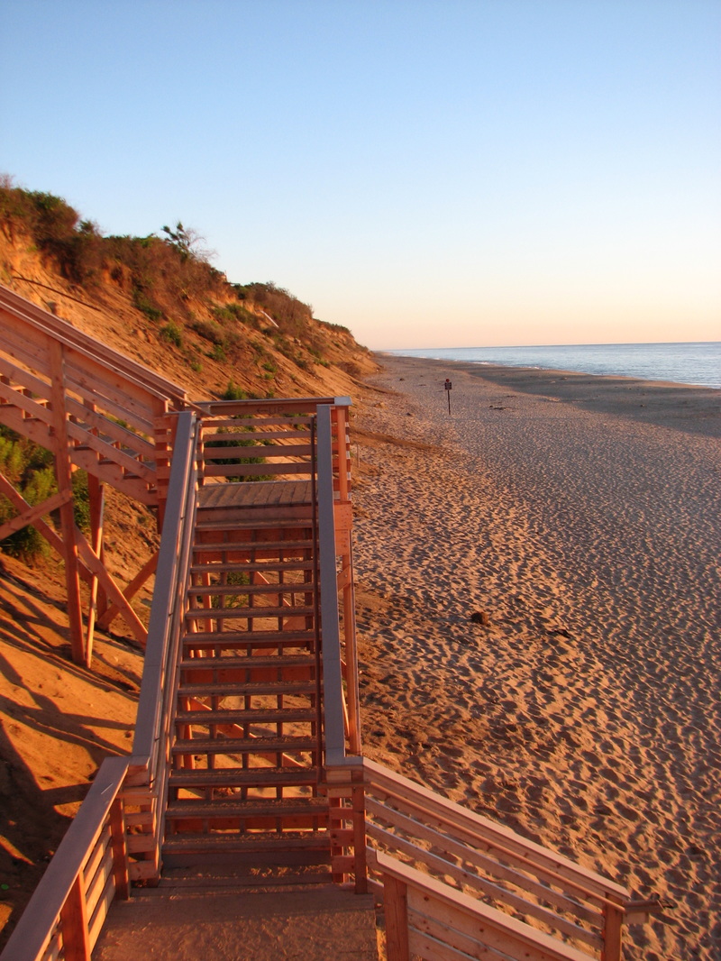
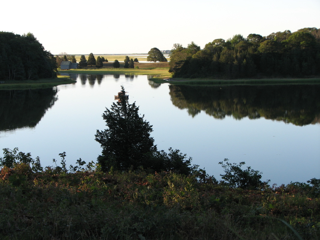
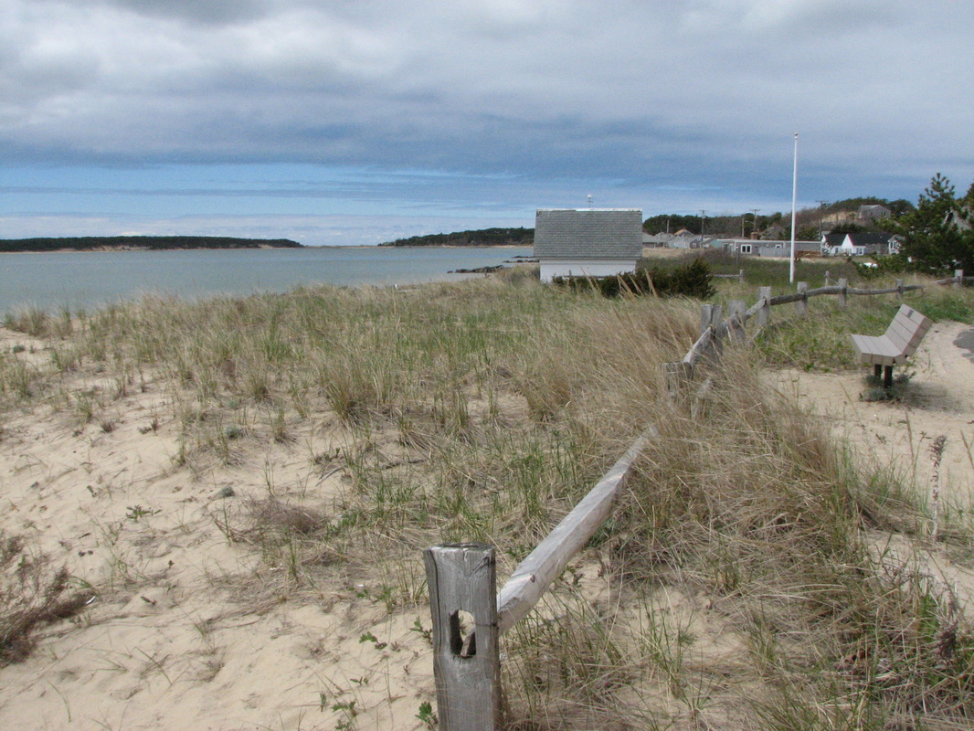
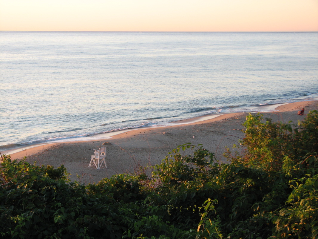
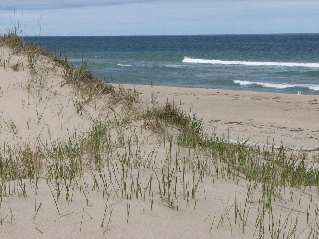
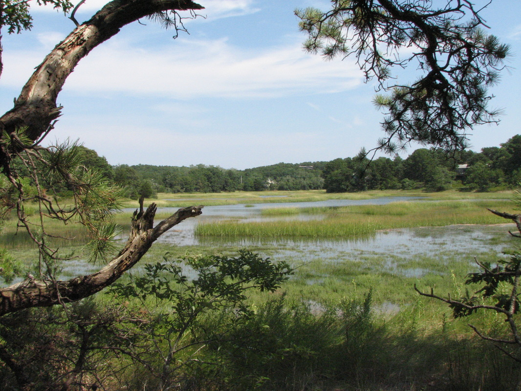

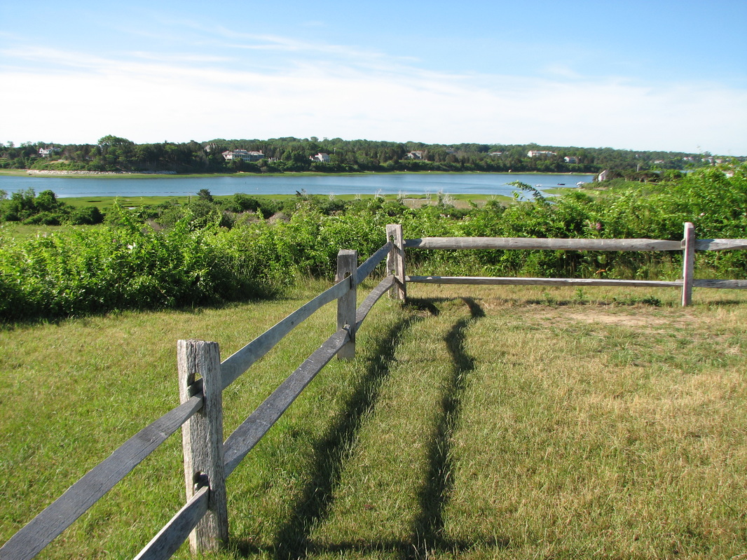
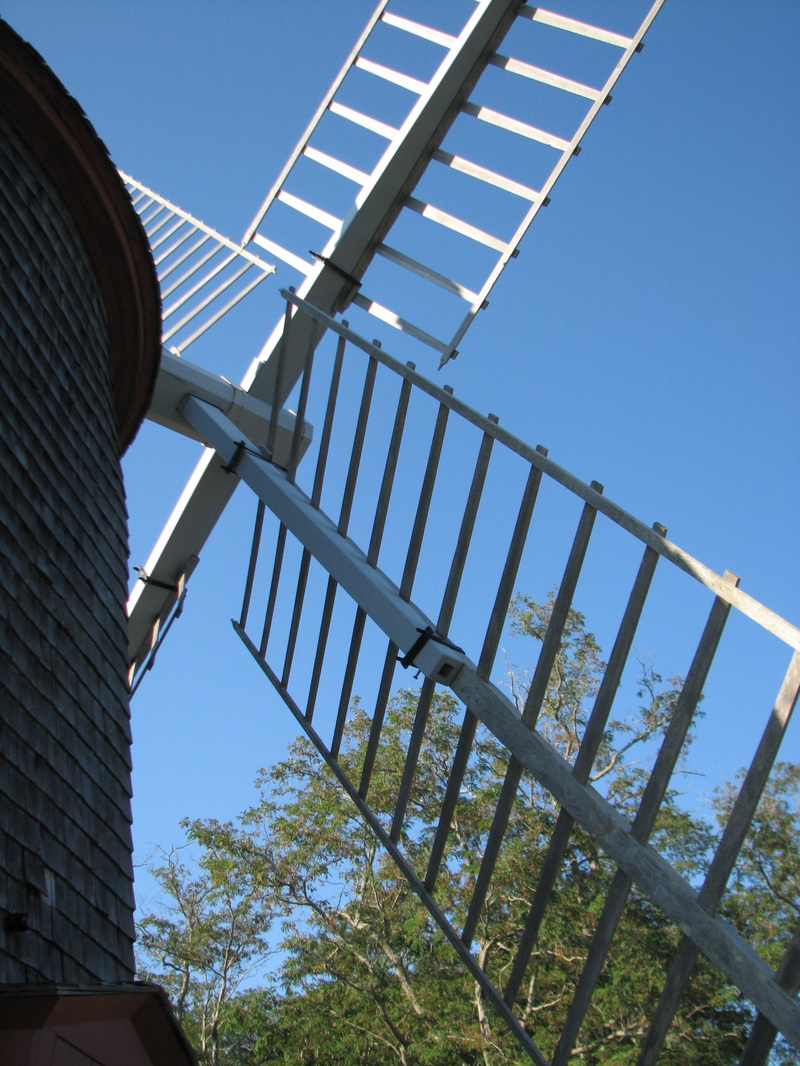

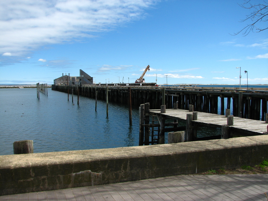
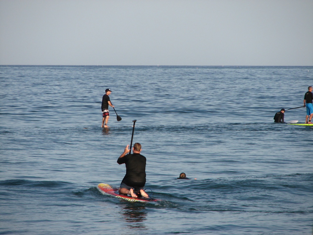
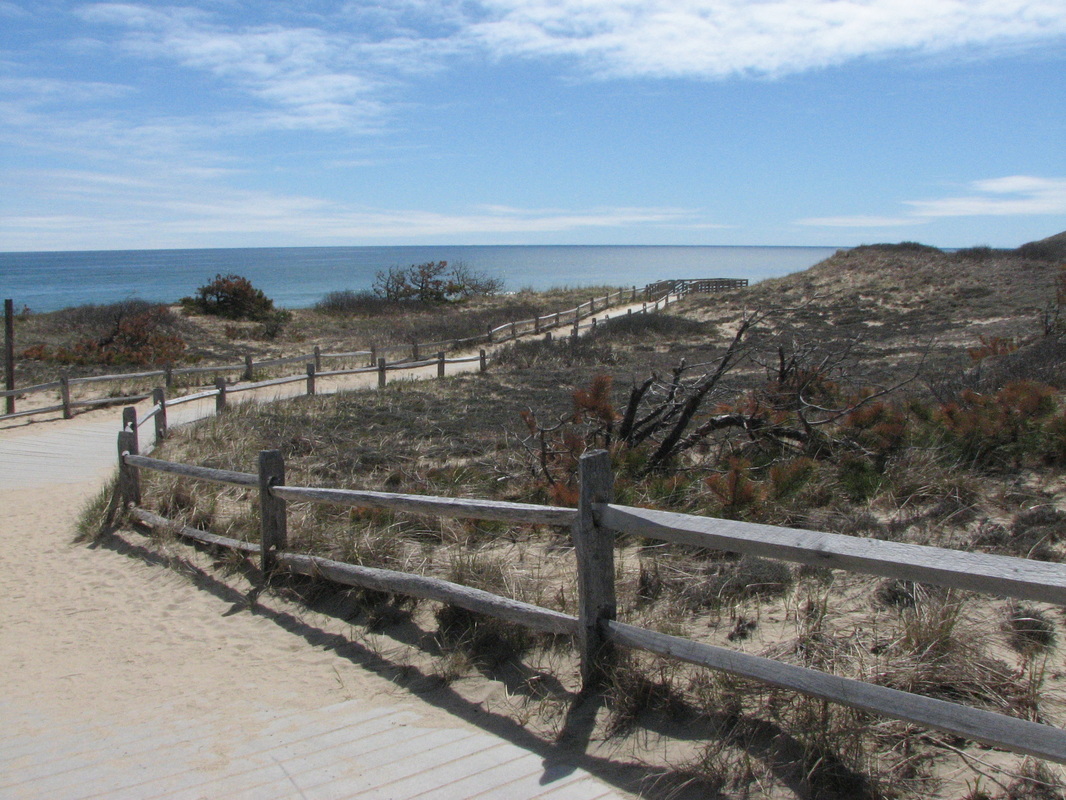
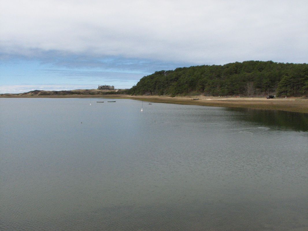
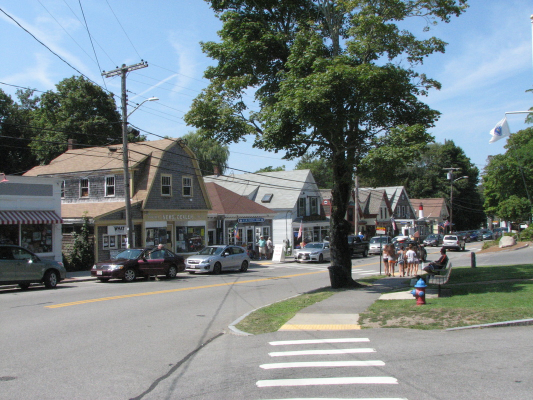
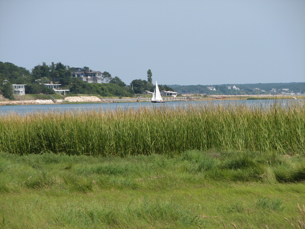
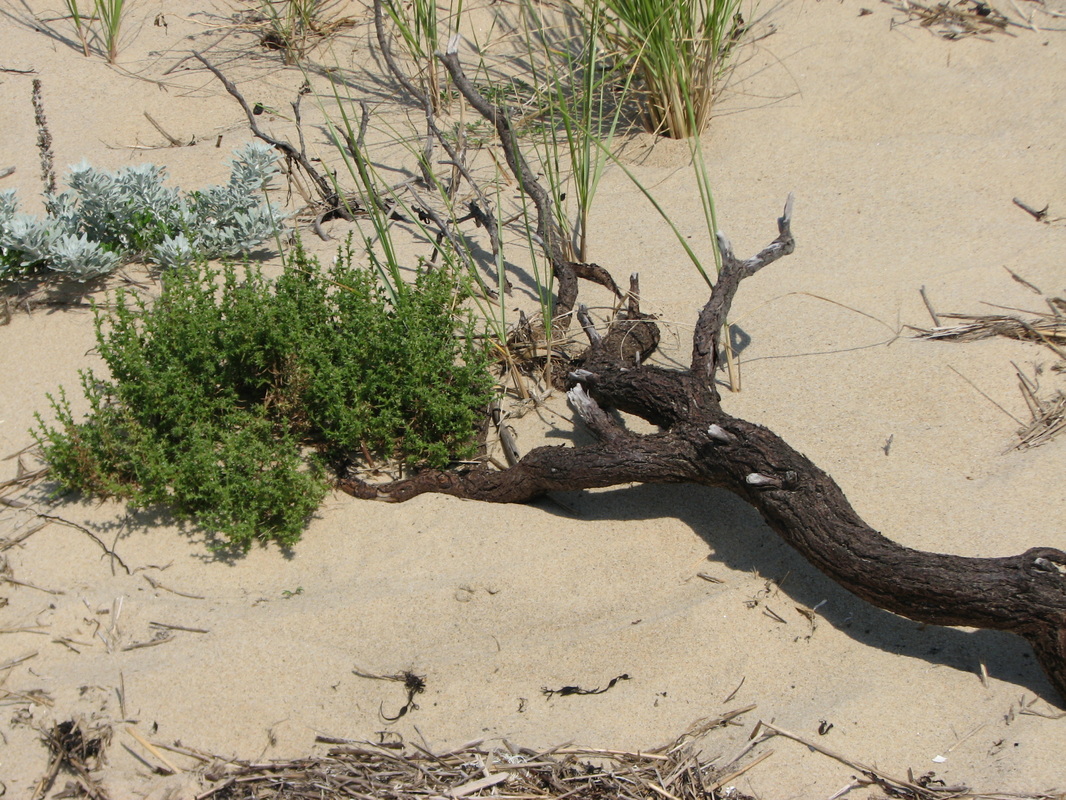

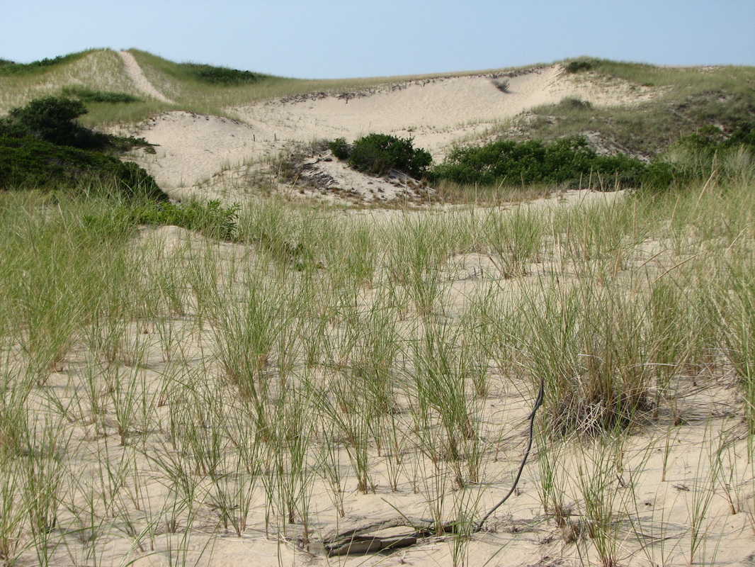
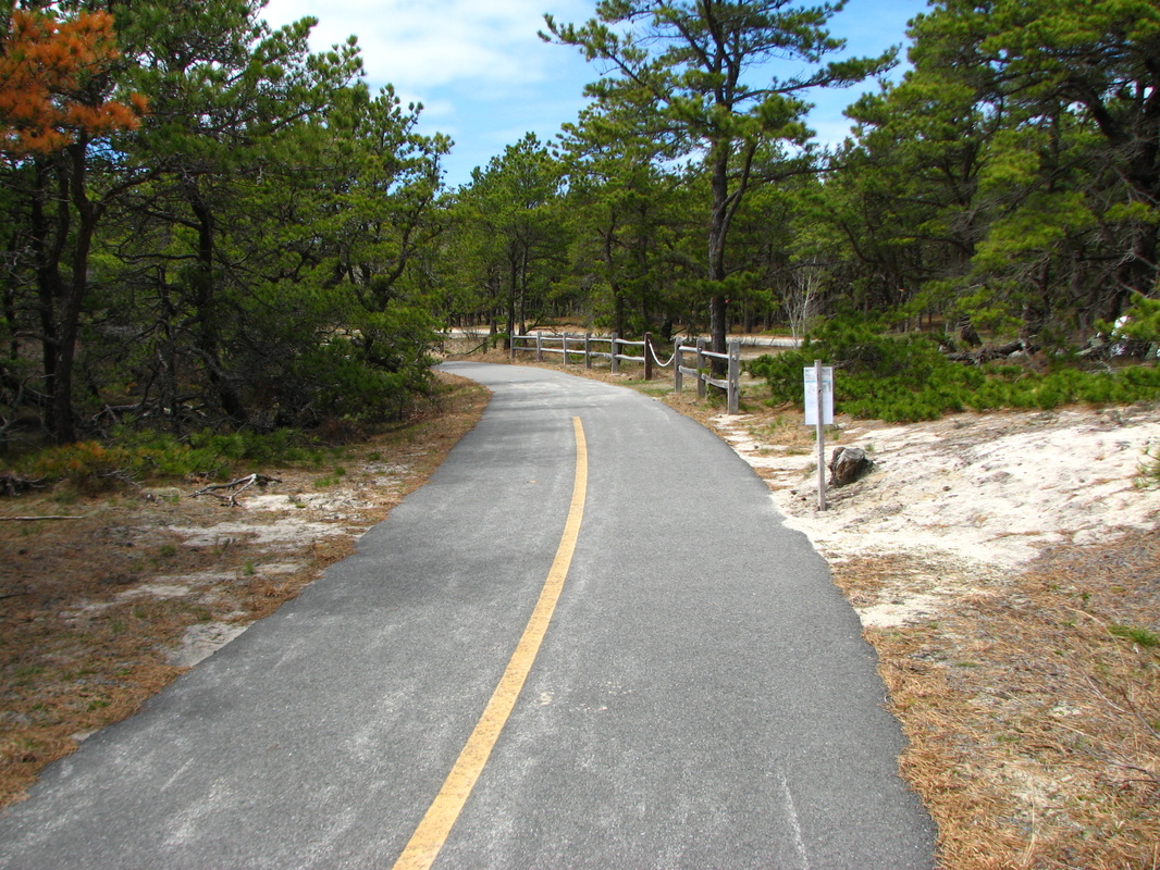

The Outer Cape (Eastham, Wellfleet, Truro, Provincetown) extends north between Cape Cod Bay to the west and the wild surf of the open ocean to the east; each town has beaches on both sides, with very different views. In some spots, the Cape is little than a mile in width, with Route 6 providing much of the access to all the towns. The Cape Cod National Seashore, established in 1961, now serves to protect and to provide recreational access to large portions of each town. Many lighthouses, several harbors, many unique hiking trails, Park visitor centers, quaint villages and stunning beaches provide for some of the best photography opportunities on Cape Cod. Shown in the photos above are Pilgrim Monument, Marconi Beach (several pictures), Nauset Lighthouse Beach, Nauset Lighthouse, Coast Guard Beach (several pictures), Uncle Tim's Bridge, the Old Coast Guard Station in Eastham, Highland Lighthouse, Dunes in Truro, Salt Pond, Mayo Beach, Highlands Area, Fort Hill, Paine Windmill, Race Point, Provincetown Harbor, Wellfleet Center, Great Island (several pictures),Head of the Meadow, and Provincelands (several pictures).
All Content and All Photographs Copyright 2023 by William E. Peace. All Rights Fully Reserved.
No duplication of any material by any means or for any reasons without written consent of the author.
